|
|
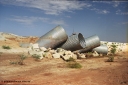
237-01691 viewsWater damaged culverts located on the upper reaches of the Edgina Creek, near the Woodstock South location on the BHP Newman line. Geo Data .
|
|
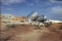
237-02657 viewsWater damaged culverts located on the upper reaches of the Edgina Creek, near the Woodstock South location on the BHP Newman line. Geo Data .
|
|
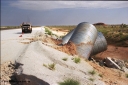
237-03667 viewsWater damaged culverts located on the upper reaches of the Edgina Creek, near the Woodstock South location on the BHP Newman line. Geo Data .
|
|
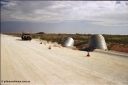
237-04703 viewsWater damaged culverts located on the upper reaches of the Edgina Creek, near the Woodstock South location on the BHP Newman line. Geo Data .
|
|
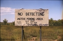
237-05723 viewsSign at the turn off to Western Shaw Mining Area at Tambourah on the Hillside - Woodstock Road. You get the idea, if you can't understand it you probably shouldn't be out here. 12th Feb, 2003. Geo Data
|
|
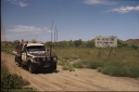
237-06684 viewsSign at the turn off to Western Shaw Mining Area at Tambourah on the Hillside - Woodstock Road. 12th Feb, 2003. Geo Data
|
|
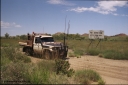
237-07733 viewsSign at the turn off to Western Shaw Mining Area at Tambourah on the Hillside - Woodstock Road. 12th Feb, 2003. Geo Data
|
|
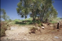
237-08653 viewsA lunch break on the bank of the Shaw River, just north of where the Shaw Patch Creek joins the Shaw River. Geodata .
|
|
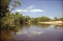
237-09692 viewsA lunch break on the bank of the Shaw River, just north of where the Shaw Patch Creek joins the Shaw River. Geodata .
|
|
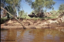
237-10647 viewsA lunch break on the bank of the Shaw River, just north of where the Shaw Patch Creek joins the Shaw River. Geodata .
|
|
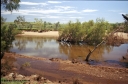
237-11620 viewsA lunch break on the bank of the Shaw River, just north of where the Shaw Patch Creek joins the Shaw River. Geodata .
|
|
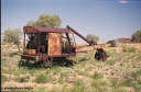
237-12687 viewsJust south of Pilga and the old Cooglegong Mine is this rusting hulk of a Ruston Bucyrus shovel, possibly an RB10, serial RB21269. Geodata .
|
|
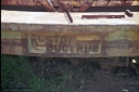
237-13650 viewsJust south of Pilga and the old Cooglegong Mine is this rusting hulk of a Ruston Bucyrus shovel, possibly an RB10, serial RB21269. Geodata .
|
|
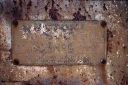
237-14649 viewsJust south of Pilga and the old Cooglegong Mine is this rusting hulk of a Ruston Bucyrus shovel, possibly an RB10, serial RB21269. Geodata .
|
|
237-15621 viewsJust south of Pilga and the old Cooglegong Mine is this rusting hulk of a Ruston Bucyrus shovel, possibly an RB10, serial RB21269. Geodata .
|
|
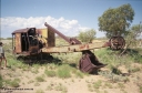
237-16621 viewsJust south of Pilga and the old Cooglegong Mine is this rusting hulk of a Ruston Bucyrus shovel, possibly an RB10, serial RB21269. Geodata .
|
|
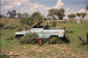
237-17639 viewsPilga Station ruins and old buildings. Geodata .
|
|

237-18664 viewsPilga Station ruins and old buildings. Geodata .
|
|

237-19657 viewsPilga Station ruins and old buildings. Geodata .
|
|
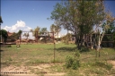
237-20643 viewsPilga Station ruins and old buildings. Geodata .
|
|
|
|
 Login


