|
|
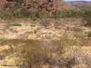
160101 2296805 viewsWittenoom Gorge, location of former power station, showing old foundations, looking north from approx. engine hall location, geodata: -22.3222833 118.3340833 , iPhone 5S image.
|
|
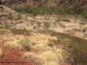
160101 2297921 viewsWittenoom Gorge, location of former power station, shows tree growing through old foundations in the middle background, looking north west from approx. engine hall location, geodata: -22.3222583 118.3340833 , iPhone 5S image.
|
|
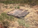
160101 2298896 viewsWittenoom Gorge, location of former power station, shows old concrete and asbestos foundations, original location of a water tank, looking north west from approx. engine hall location, geodata: -22.3220500 118.3339917 , iPhone 5S image.
|
|
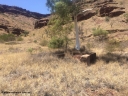
160101 2299848 viewsWittenoom Gorge, location of former power station, shows old concrete foundations with tress growing through them, looking south west, geodata: -22.3222056 118.3328944 , iPhone 5S image.
|
|
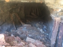
160101 2300843 viewsWittenoom Gorge, Gorge Mine area, view inside drive No. 5, formally sealed, erosion has collapsed the sealing door, geodata: -22.3247417 118.3277889 , iPhone 5S image.
|
|
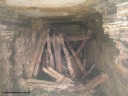
160101 2301814 viewsWittenoom Gorge Mine area, view inside drive No. 5, bush cut timber poles to restrict access, geodata: -22.3247417 118.3277889 , iPhone 5S image.
|
|
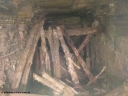
160101 2302823 viewsWittenoom Gorge Mine area, view inside drive No. 5, bush cut timber poles to restrict access, geodata: -22.3247417 118.3277889 , iPhone 5S image.
|
|
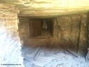
160101 23031007 viewsWittenoom Gorge, Gorge Mine area, view inside drive No. 2 through the internal set of gates, geodata: -22.3246533 118.3282583 .
|
|
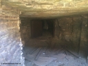
160101 2304812 viewsWittenoom Gorge Mine area, view inside drive No. 2 through the internal set of gates, geodata: -22.3246533 118.3282583 .
|
|
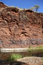
160101 9757807 viewsWittenoom Gorge, Joffre Creek, Fourth Crossing Pool on the west side of the gorge on Bolitho Road. Geodata: -22.2804483 118.3212850
|
|
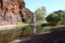
160101 9758781 viewsWittenoom Gorge, Joffre Creek, Fourth Crossing Pool view of the western wall gorge, via Bolitho Road. Geodata: -22.2804483 118.3212850
|
|
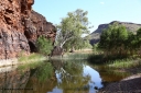
160101 9759789 viewsWittenoom Gorge, Joffre Creek, Fourth Crossing Pool view of the western wall gorge, via Bolitho Road. Geodata: -22.2804483 118.3212850
|
|
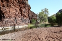
160101 9760735 viewsWittenoom Gorge, Joffre Creek, Fourth Crossing Pool view of the western wall gorge, via Bolitho Road. Geodata: -22.2804483 118.3212850
|
|
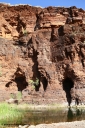
160101 9761766 viewsWittenoom Gorge, Joffre Creek, Fourth Crossing Pool view of the western wall gorge, via Bolitho Road. Geodata: -22.2804483 118.3212850
|
|
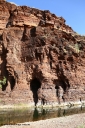
160101 9762750 viewsWittenoom Gorge, Joffre Creek, Fourth Crossing Pool view of the western wall gorge, via Bolitho Road. Geodata: -22.2804483 118.3212850
|
|
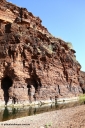
160101 9763726 viewsWittenoom Gorge, Joffre Creek, Fourth Crossing Pool view of the western wall gorge, via Bolitho Road. Geodata: -22.2804483 118.3212850
|
|
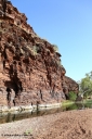
160101 9764695 viewsWittenoom Gorge, Joffre Creek, Fourth Crossing Pool view of the western wall gorge, via Bolitho Road. Geodata: -22.2804483 118.3212850
|
|
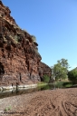
160101 9765744 viewsWittenoom Gorge, Joffre Creek, Fourth Crossing Pool view of the western wall gorge, via Bolitho Road. Geodata: -22.2804483 118.3212850
|
|

160101 9766662 viewsWittenoom Gorge, Joffre Creek, Fourth Crossing Pool view of the western wall gorge, via Bolitho Road. Geodata: -22.2804483 118.3212850
|
|
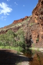
160101 9767767 viewsWittenoom Gorge, Joffre Creek, Fourth Crossing Pool view of the western wall gorge, via Bolitho Road. Geodata: -22.2804483 118.3212850
|
|
|
|
 Login


